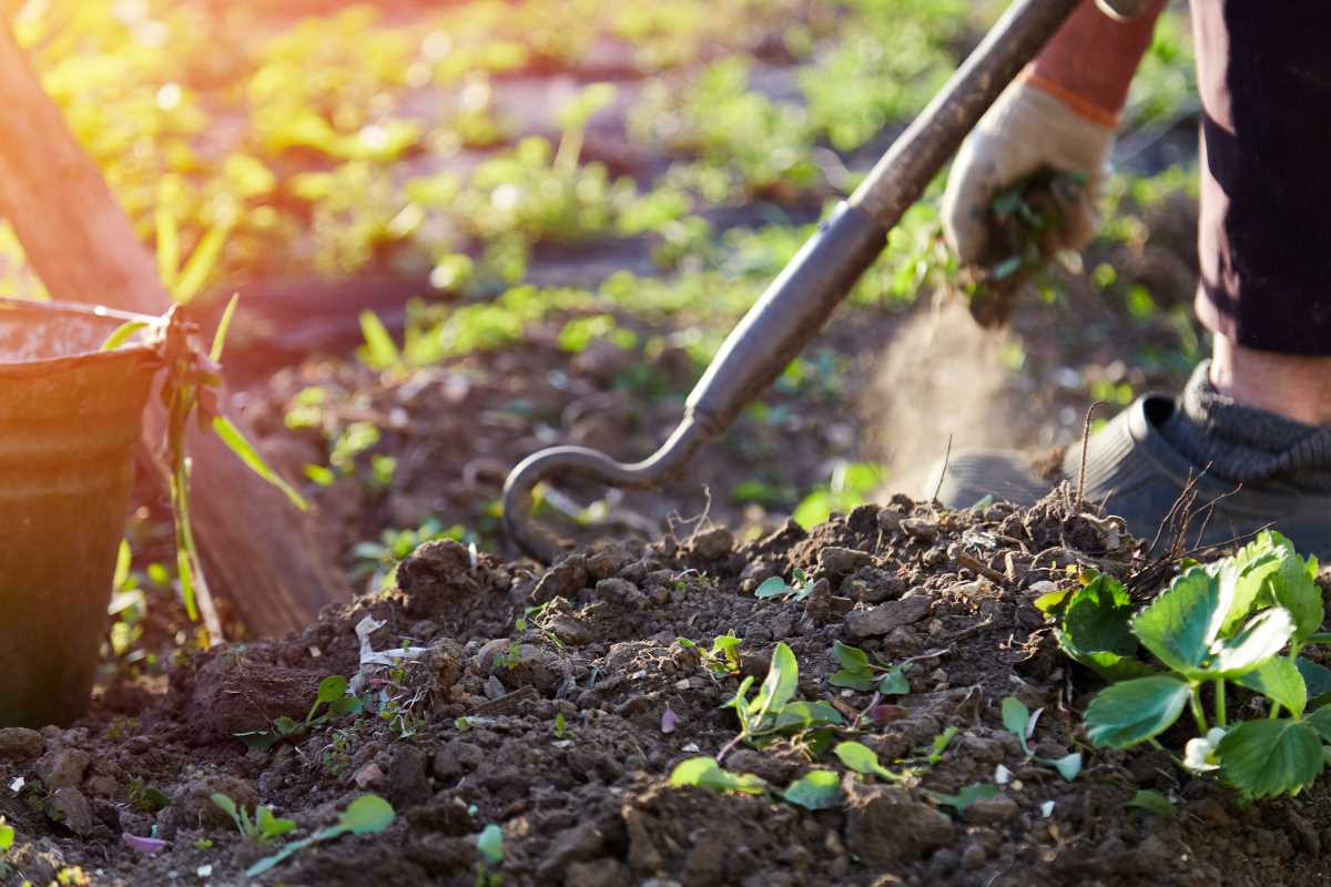
 (Image via
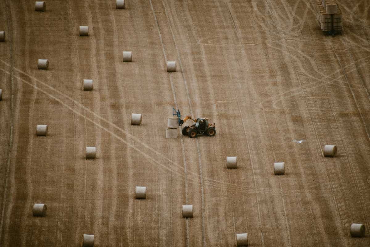
Modern yield mapping software offers a powerful way to manage fields planted with multiple crops. By highlighting variations across different areas, the software uncovers patterns that might otherwise go unnoticed. Users can access clear, practical information that makes it easier to plan each stage of production with confidence. Whether adjusting inputs or choosing the best time to harvest, the data supports decisions that match the needs of each unique crop growing in the same field. With these insights, farmers can achieve better results and respond more effectively to the challenges of mixed-crop farming.
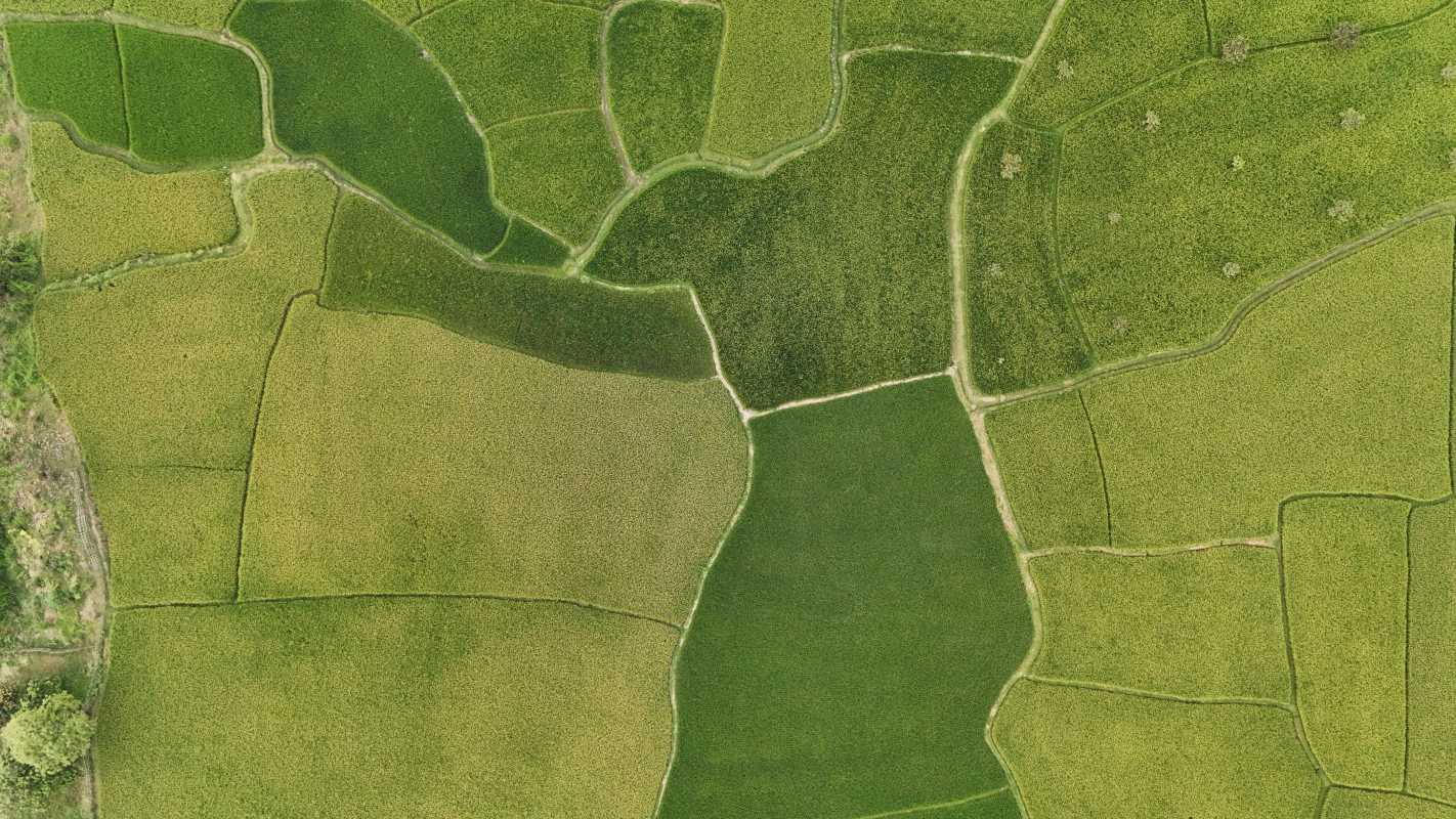
Yield mapping software collects field data during harvest and then displays variations in yield. Users can observe these details to adjust planting, fertilizing, and other practices to boost productivity and reduce waste when managing mixed crops.
Understanding yield mapping software
This tool combines GPS, sensors, and data collection technology on harvesting equipment to record variations in crop performance. It works with machines like John Deere trackers or AgLeader systems to offer a visual representation of crop yield across different field sections. Farmers can quickly identify zones of high or low productivity to fine-tune their practices.
The main features and capabilities include:
- Real-time data collection during harvest
- GPS-based mapping of yield variations
- Integration with multiple agricultural management systems
- Visual tools to compare data over several harvests
- Ability to overlay soil and topography maps for deeper insights
Preparing your mixed-crop field for yield mapping
Before adopting this technology, a few preparations ensure the best performance. Understanding the specific needs of different crops in one field helps to recognize how each plant responds to soil conditions, fertilizer, and water. Carefully map out the field layout to mark crop rows and boundaries, making sure equipment reads the correct zones.
Follow these steps to ready your field for effective mapping:
- Clean up the field to minimize debris that could affect sensor readings.
- Mark field boundaries and individual crop zones clearly.
- Update soil and crop records to provide the system with accurate baseline data.
- Calibrate equipment sensors as recommended by the manufacturer.
- Perform a sample run to confirm that data transmissions occur correctly.
Setting up and using the software
Start by installing the necessary hardware and software on your harvesting equipment. Make sure sensors and GPS units communicate well with your central data system. When the digital setup finishes, sync your devices to the farm management network.
Follow this step-by-step process to begin using the system:
- Download and install the yield mapping application on your device.
- Connect the sensors and verify that real-time tracking is active.
- Ensure the equipment's GPS is properly aligned for precise measurements.
- Start the harvest and watch data feed into the system smoothly.
- Review the integrated yield mapping tools to monitor performance.
Analyzing data and making decisions
Understanding the data helps to run a successful mix of crops. Use the visual maps to assess which areas have underperformed and which have exceeded expectations. Spotting anomalies helps in adjusting input levels for water, fertilizer, and other field practices.
Keep these insights in mind when making decisions:
- Review yield trends to find consistent problem areas that may require a soil test.
- Compare current harvest data with previous years to identify long-term changes.
- Focus on areas where variability in crop performance appears, leading to actionable steps.
- Use the detailed reports offered by your yield mapping software to refine your cultivation practices.
Troubleshooting and best practices
Working with technology means encountering occasional hiccups. Issues like sensor misalignment or software glitches can occur. Fix these quickly to maintain data integrity and keep your operations running smoothly. Always check connections and software versions to prevent surprises during critical harvest periods.
Keep these common issues and solutions in mind:
- Issue: Inaccurate sensor data.
- Solution: Recalibrate sensors and check for wear or obstruction.
- Issue: Poor connectivity between device and GPS.
- Solution: Update firmware and confirm a strong signal during operation.
- Issue: Data discrepancies between harvest days.
- Solution: Standardize the calibration process before each use.
- Issue: Software lag or errors.
- Solution: Restart the system and verify that your application is up-to-date.
Accurate mapping improves crop management, reduces waste, and supports healthy growth in all field zones. These practices maintain crop quality and optimize input use and technology.